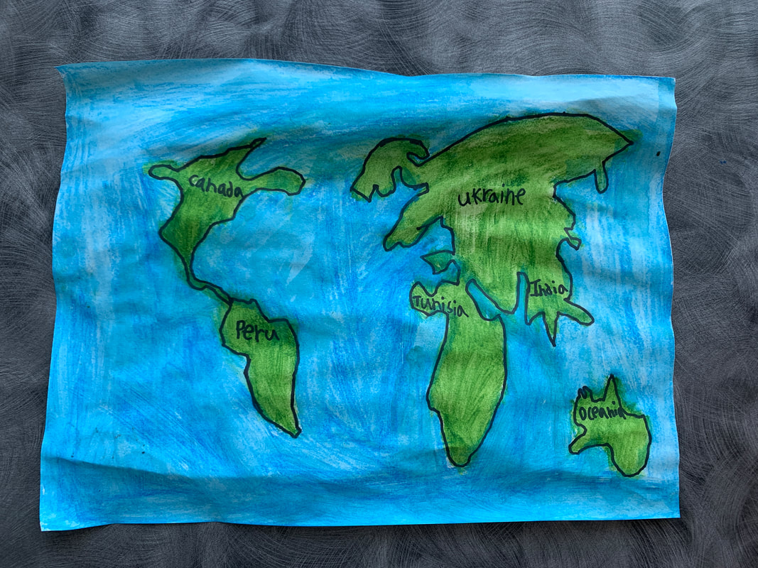
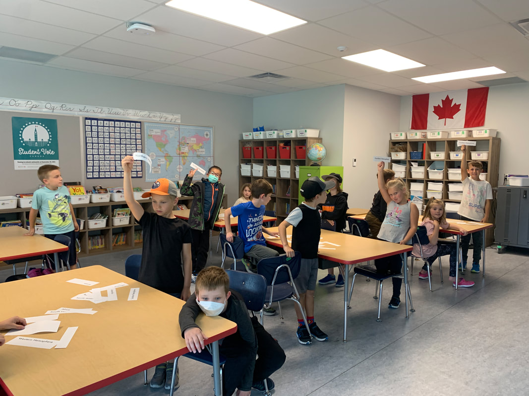
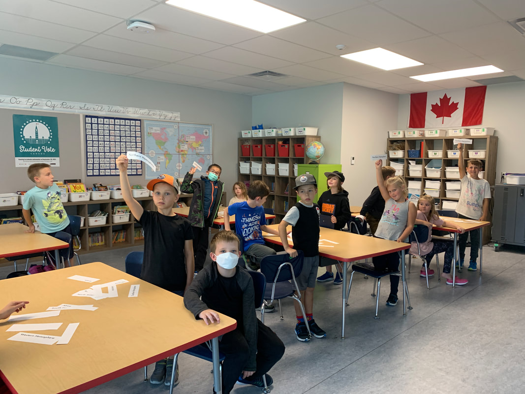
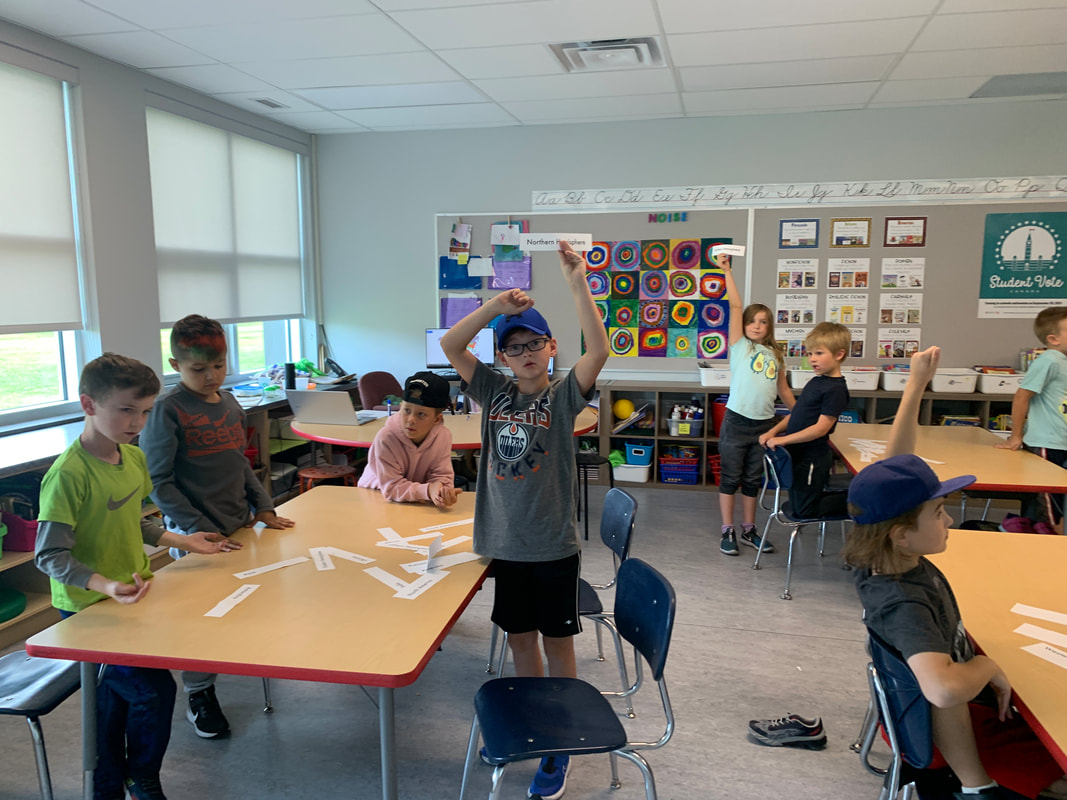
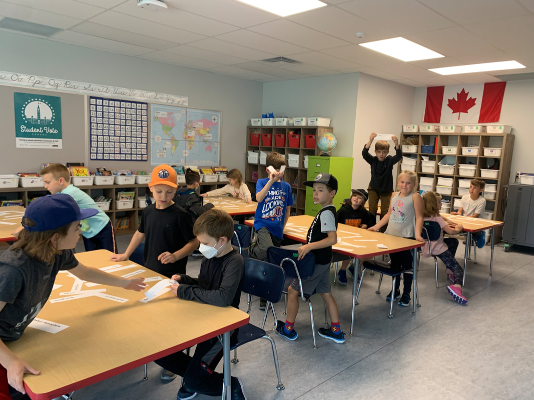
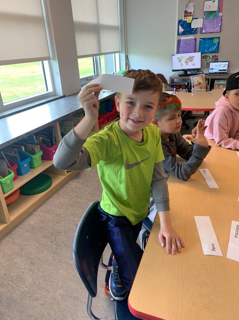
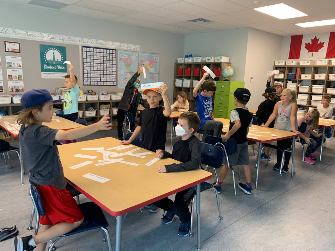
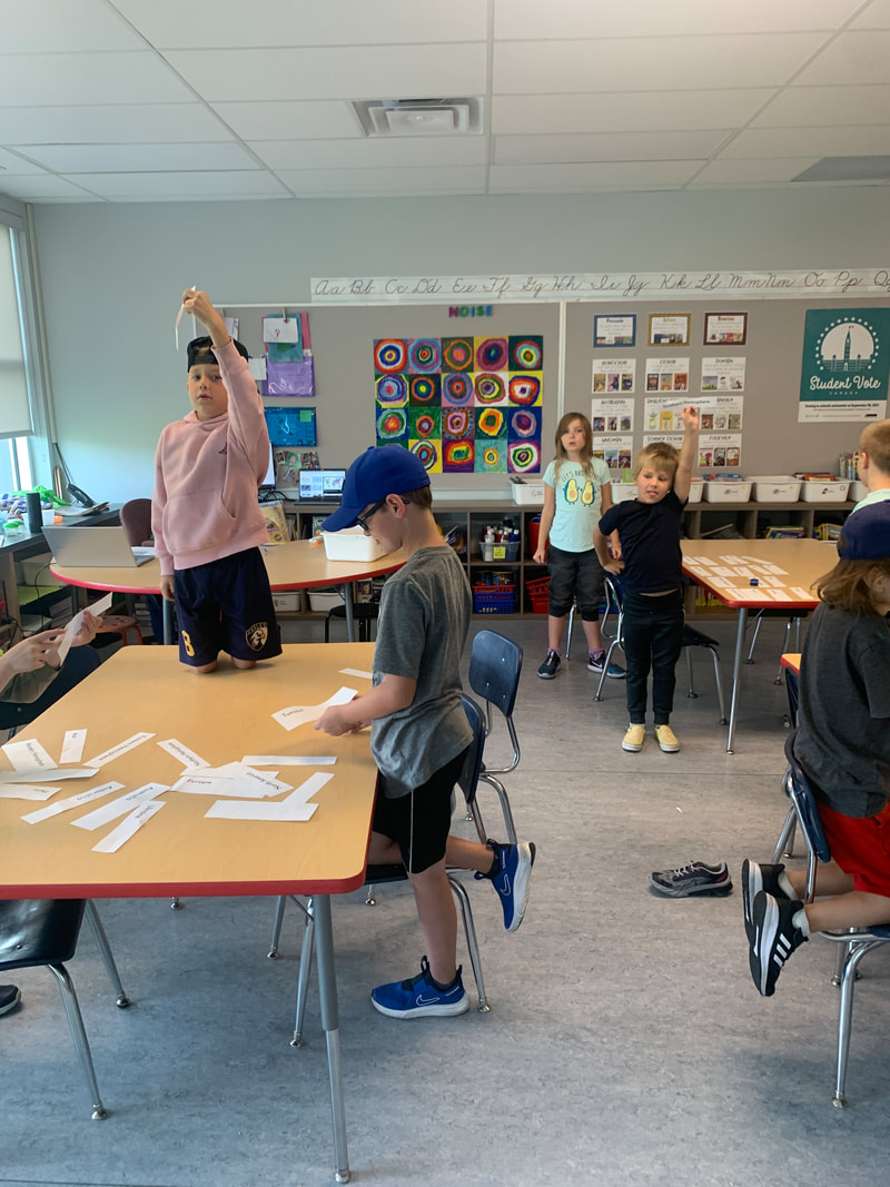
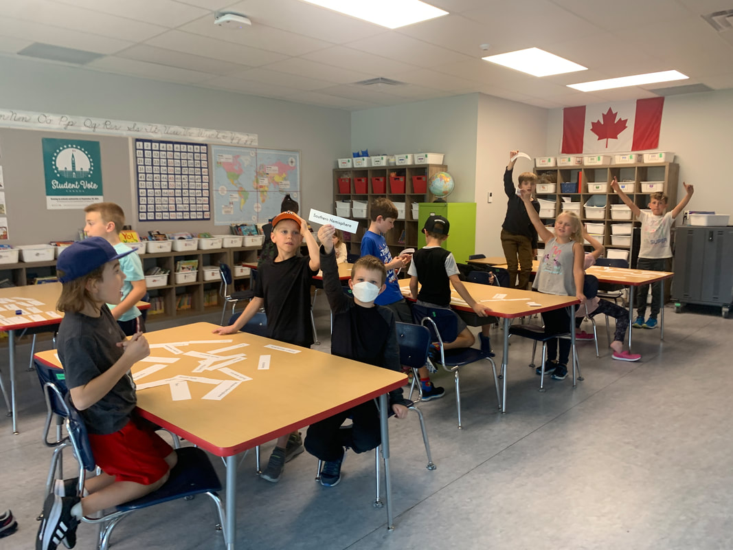
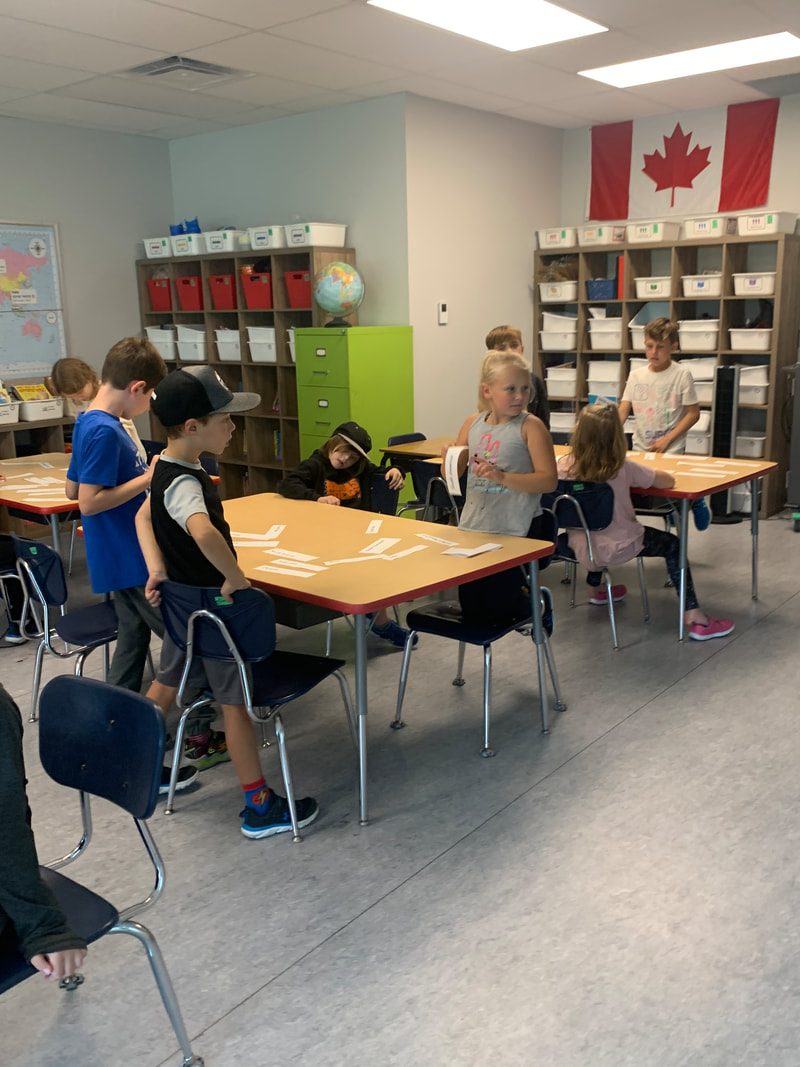
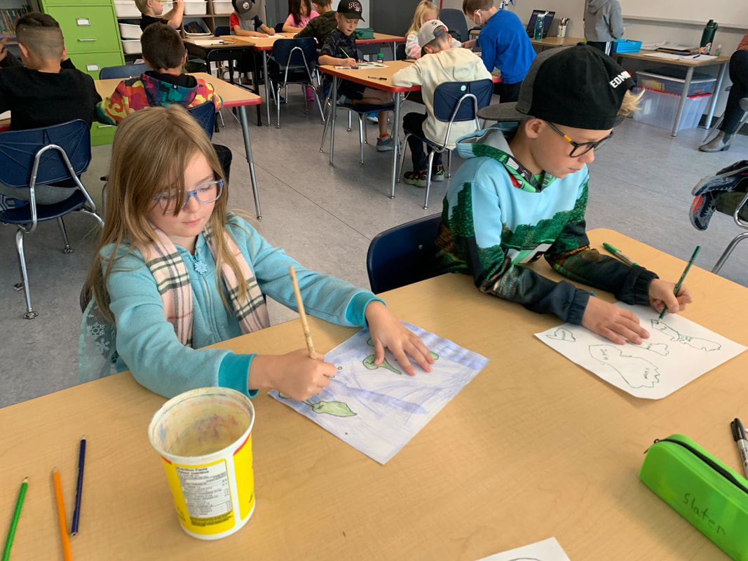
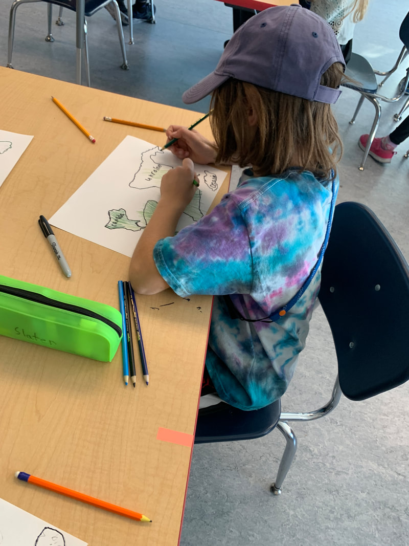
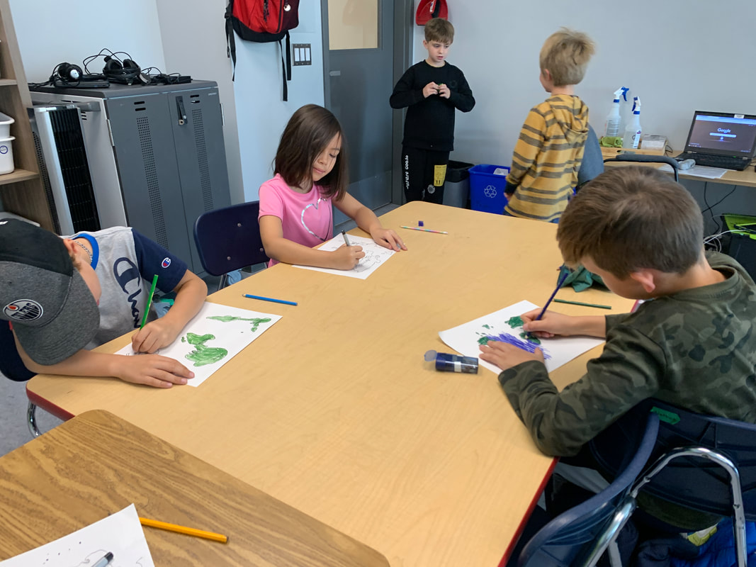
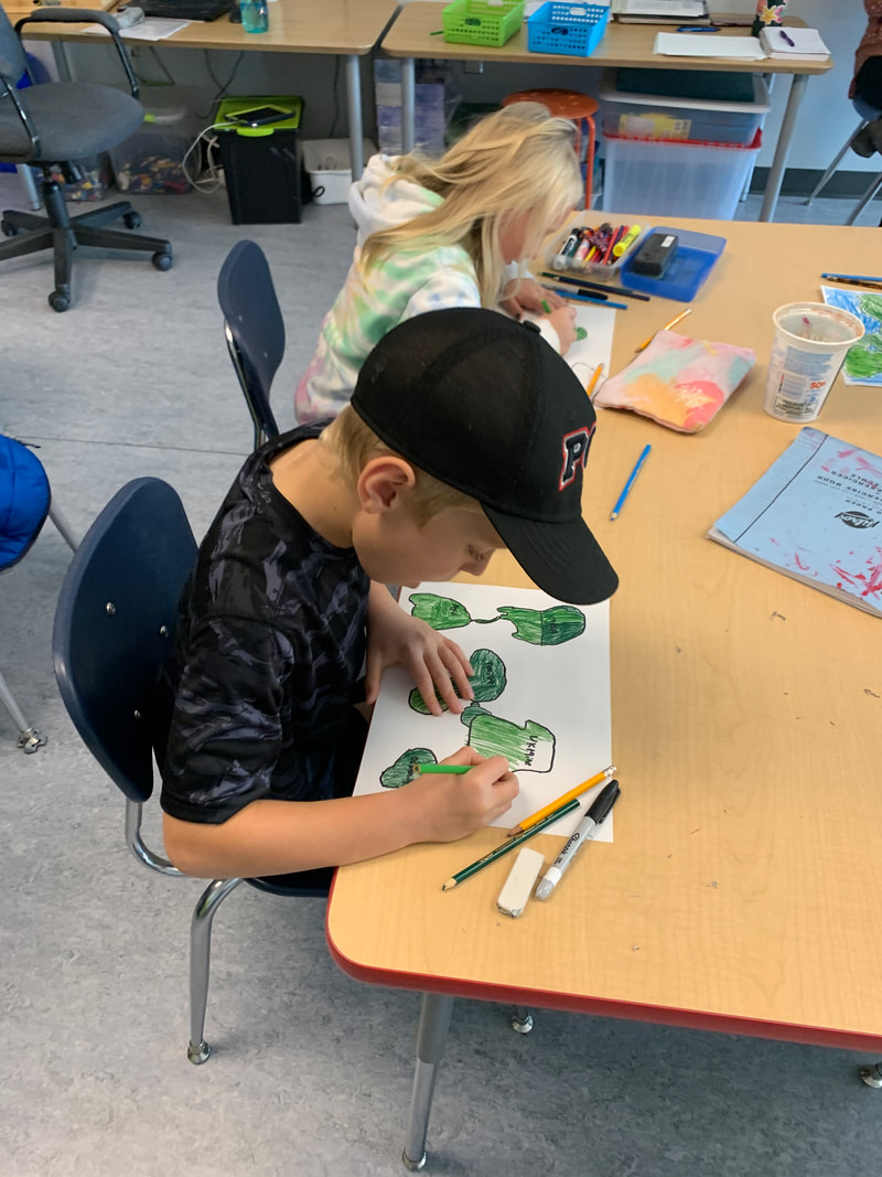
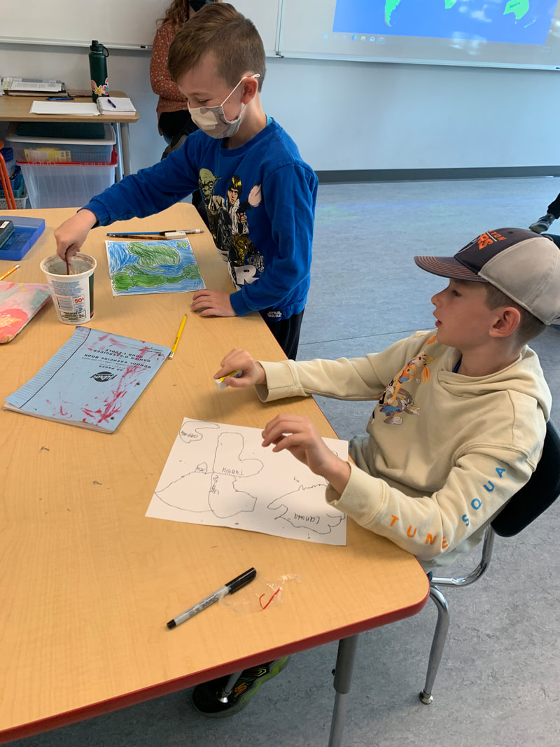
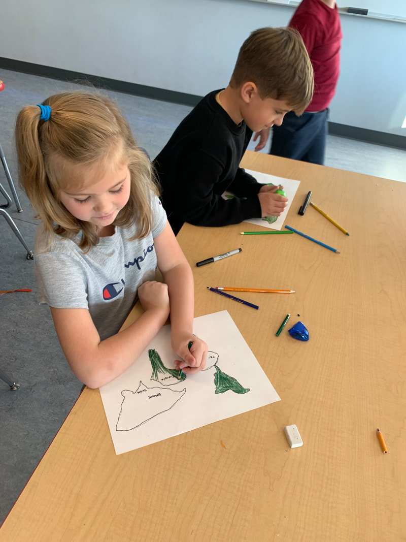
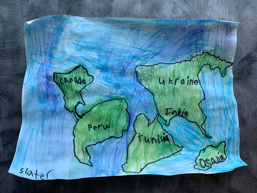
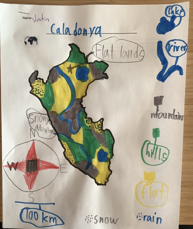
We’ve officially wrapped up our unit on maps this week as we made our own maps along with directions to an important location on the map. We’ve learned about how to create and use a simple map, use cardinal and intermediate directions, and apply the terms hemisphere poles, and equator. The students also worked hard to remember the locations of the countries we’ll be learning about this year (Tunisia, Ukraine, India, and Peru). You can watch the video below for more ideas on how to draw a pirate map!


 RSS Feed
